This page conforms to the XHTML standard and uses style sheets. If your browser doesn't support these, you may not see the page as designed, but all the text is still accessible to you.

SCHENECTADY DIGITAL HISTORY ARCHIVE

Bringing the heritage of Schenectady County, New York to the world since 1996

You are here: Home » Resources » MVGW Home » Maps » NYS Barge Canal System

History of the Mohawk Valley: Gateway to the West 1614-1925
Map of State of New York Barge Canal System 1920

[This information is from Vol. II, p. 1423 of History of the Mohawk Valley: Gateway to the West 1614-1925, edited by Nelson Greene (Chicago: The S. J. Clarke Publishing Company, 1925). It is in the Reference collection of the Schenectady County Public Library at R 974.7 G81h. This online edition includes lists of portraits, maps and illustrations. As noted by Paul Keesler in his article, "The Much Maligned Mr. Greene," some information in this book has been superseded by later research or was provided incorrectly by local sources.]

Contents | Biographies | Illustrations | Maps | Portraits

Go back to: Chapter 98

Map of State of New York Barge Canal System 1920

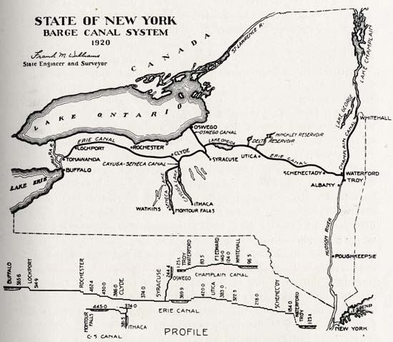
[View 9x enlarged (245K) version]

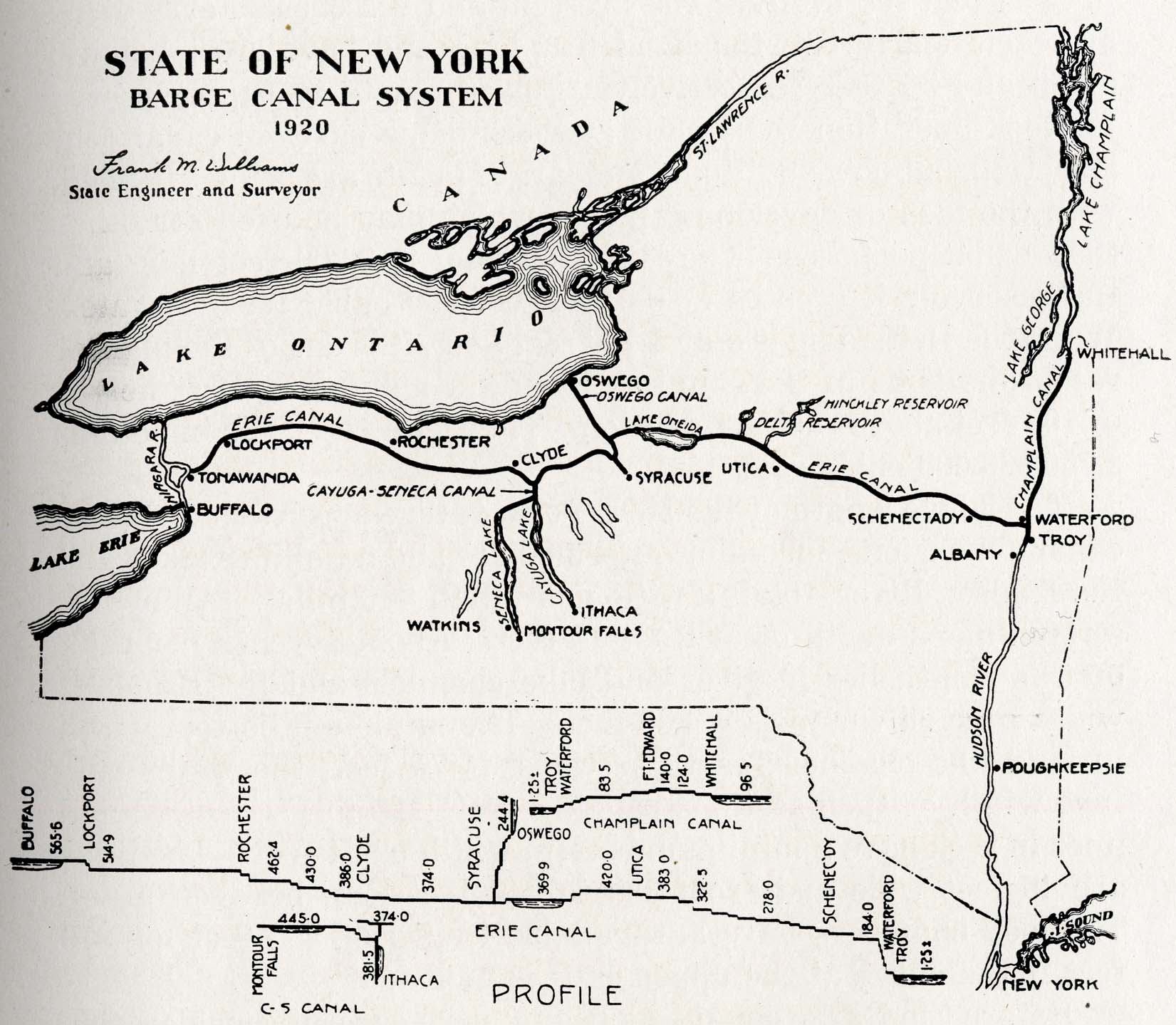
Showing the main trunk lines; the Erie division, running from Waterford to Albany; the Oswego division, running from Syracuse to Oswego; the Champlain division, running from Waterford to Whitehall; the Cayuga and Seneca branch from the Seneca river to Geneva on Seneca lake.

Place names on map (roughly west to east) include Niagara River, Buffalo, Tonawanda, Lockport, Lake Ontario, St. Lawrence River, Erie Canal, Rochester, Clyde, Cayuga-Seneca Canal, Watkins, Seneca Lake, Cayuga Lake, Montour Falls, Ithaca, Oswego, Oswego Canal, Lake Oneida, Syracuse, Utica, Delta Reservoir, Hinckley Reservoir, Schenectady, Albany, Waterford, Troy, Champlain Canal, Whitehall, Lake George, Lake Champlain, Hudson River, Poughkeepsie, Long Island Sound, New York [City]

The "Profile" section shows the following place names and depths:

Erie Canal: Buffalo 565.6, Lockport 514.9, Rochester 462.4, 430.0, Clyde 386.0, 374.0, Syracuse, 369.9, 420.0, Utica 383.0, 322.5, 278.0, Schenectady, 184.0, Waterford, Troy, 1.25 +/-

Cayuga-Seneca Canal: Montour Falls 445.0, 381.5, Ithaca 374.0

Champlain Canal: 1.25 +/-, Troy, Waterford, 83.5, Fort Edward 140.0, 124.0, Whitehall, 96.5

Go to top of page | back to: Chapter 98

You are here: Home » Resources » MVGW Home » Maps » NYS Barge Canal System

http://www.schenectadyhistory.org/resources/mvgw/maps/nys_barge_canal_system_map.html updated June 10, 2018

Copyright 2018 Schenectady Digital History Archive — a service of the Schenectady County Public Library

Statcounter