Schenectady County, New York Maps - Beers Atlas (1866)
[These maps are taken from the original edition of the New Topographical Atlas of the Counties of Albany and Schenectady, New York by S. N. and D. G. Beers. This item is in the Schenectady Collection of the Schenectady County Public Library as Schdy R 912.747 B41. The 1975 reprint edition is available in the atlas case at the Central Library.]
Additional maps and a table of distances and some statistics will be reproduced here in 2001.
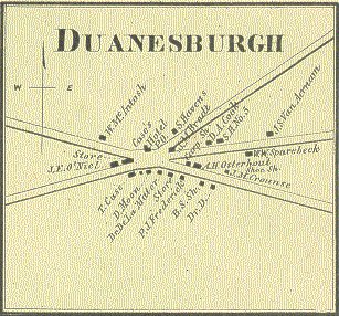
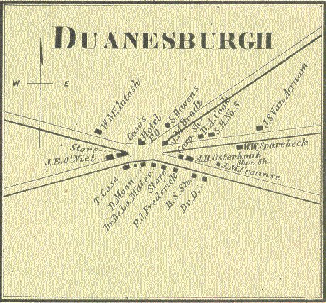
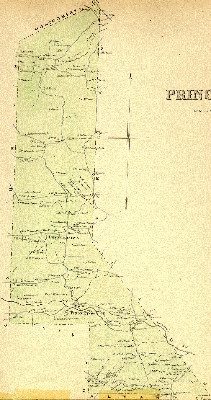
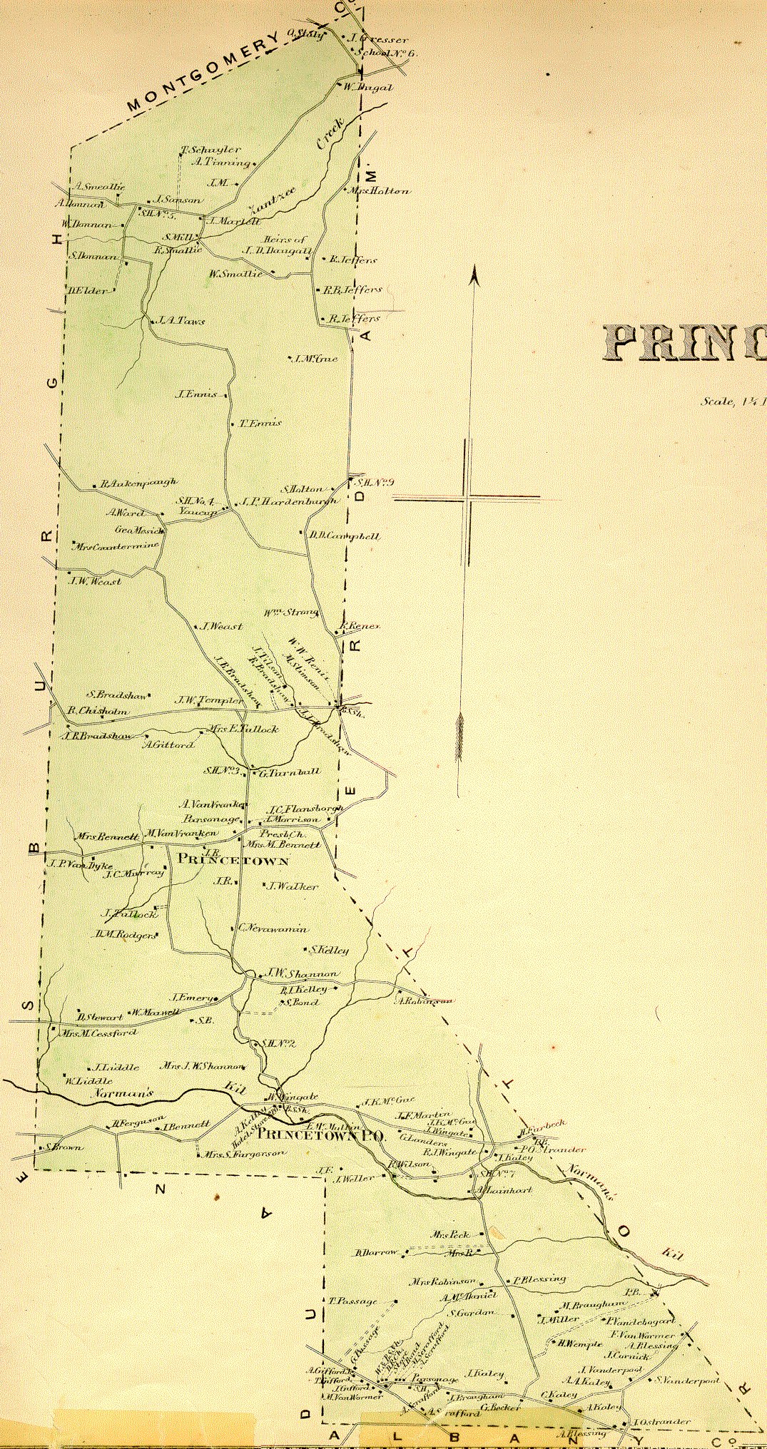
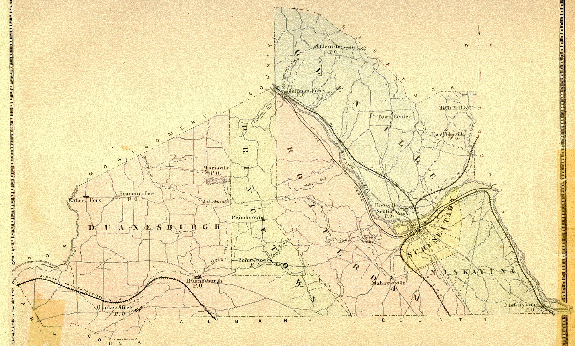
Page 47: Town of Duanesburgh
13.5" x 13", 1.25 inches to the mile
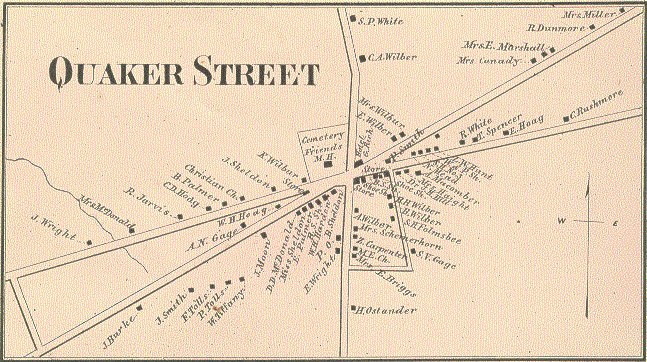
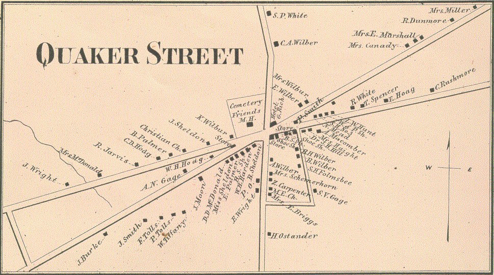
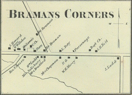
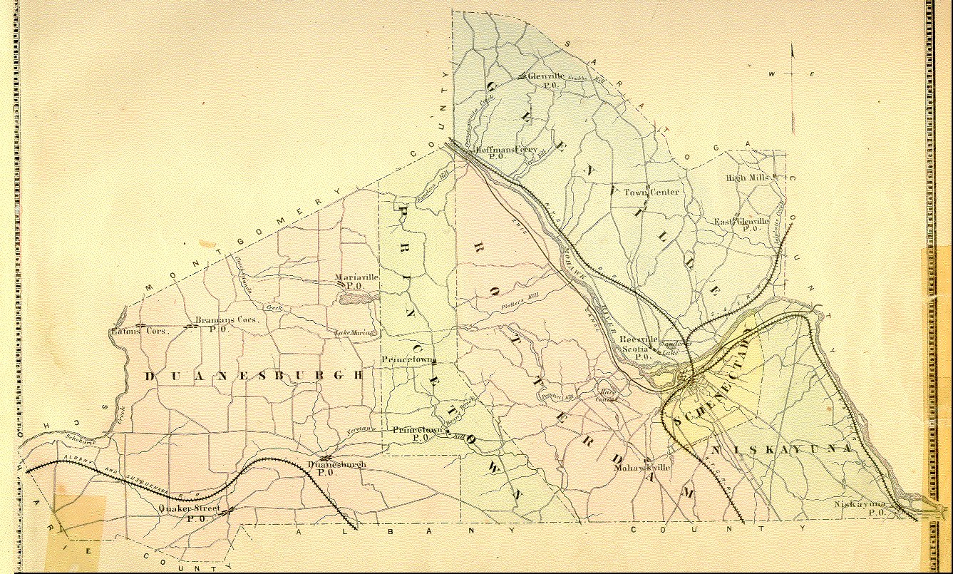
Page 49: Villages of Quaker Street, Duanesburgh, Bramans Corners and Mariaville