This page conforms to the XHTML standard and uses style sheets. If your browser doesn't support these, you may not see the page as designed, but all the text is still accessible to you.
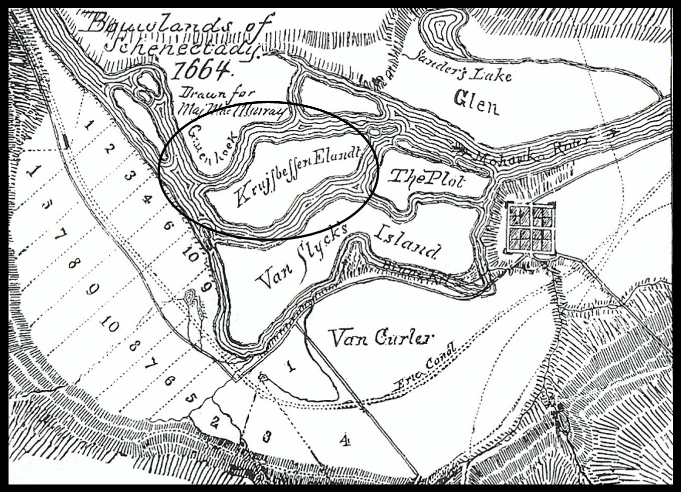
Map 3: Bouwlands of Schenectady, 1664
[View 4x enlarged]
In this 1664 map of the Schenectady bouwlands, "Krujsbessen Elandt" is circled. Map shows the original divisions of land among the settlers of Schenectady and the Glen family lands, as well as Van Slyck's Island.
http://www.schenectadyhistory.org/buildings/scotia/flint_house/jones/map03.html updated March 30, 2015
Copyright 2015 Schenectady Digital History Archive — a service of the Schenectady County Public Library